
West Jordan ZIP Codes and Coverage
West Jordan ZIP coverage has three standard city-associated codes and one important western statistical association. Official material identifies 84081, 84084, and 84088 with West Jordan geography. Utah Department of Health district material also pairs 84006 with the West Jordan West/Coperton area. Postal place, statistical area, and municipal boundary are not interchangeable, so the directory keeps the distinction in view.
| ZIP Code | Areas Covered | Post Office | Notes |
|---|---|---|---|
| 84081 | West Jordan West / Coperton area in state small-area material from 2009 forward | Confirm by USPS address lookup | Western edge; city-limit status needs testing |
| 84084 | West Jordan North; older West Jordan No. and revised West Jordan NE categories | West Jordan, UT | State categories change across periods |
| 84088 | West Jordan Southeast from 2009 forward; earlier W. Jordan / Coperton grouping | West Jordan, UT | Verify edge addresses |
| 84006 | Copperton / West Jordan West-Coperton statistical area | Address-level USPS check | Not a standard city-core ZIP |
ZIP 84084 and 84088 have the clearest West Jordan postal names. ZIP 84081 sits in a western edge story, and 84006 belongs in the table only because official health geography pairs it with West Jordan West/Coperton. The exact current boundary for a particular address belongs to USPS and the county map, not a city-name guess.
The USPS official lookup is the first check for a standardized postal address and ZIP.
West Jordan ZIP Realignment Clues
The state health report separates West Jordan North, West Jordan Southeast, and West Jordan West/Coperton across time. Its categories show a pre-2009 period, a 2009 to 2011 period, and a 2012-forward West Jordan NE revision for the northern area. The 84088 southeast category is described from 2009 forward. Those are statistical geography clues, not a promise that every address changed postal code in those years.
Keep the source year with the ZIP. A historical resident record may use a community label that predates a later ZIP category. The 2006 Taylorsville to West Jordan boundary adjustment is another reason to save former jurisdiction, postal place, and current city side by side.
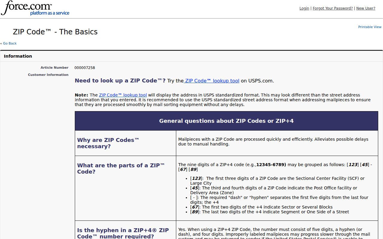
The USPS ZIP basics page explains why a postal code should be checked at address level.
West Jordan ZIP Search Fields
The county Assessor is not documented as a verified ZIP-wide resident search. Its current form centers on owner, address, and parcel, while the legacy form uses frontage number, direction, street name or number, and type or direction. The GIS viewer can turn on a ZIP layer, but the static source does not publish a stable ZIP filter or result cap. Voter data includes ZIP within the full address, while its public-data order is not documented as a ZIP-only form.
| Portal field or layer | What it can do for postal grouping |
|---|---|
| USPS full address | Standardize the delivery address and return the postal ZIP. |
| County ZIP layer | Compare ZIP geography with parcels and city boundaries on the map. |
| Assessor address | Search a selected address, then save its parcel identity. |
| Assessor parcel prefix | Search a block by the first seven digits when street work is needed. |
| Voter full address | Appears in the public statewide file where the voter is public category. |
Note: No official static page verified an Assessor, voter, or city-GIS “search all records by ZIP” mode.
Finding Residents by ZIP Code
A ZIP search should narrow geography first, then switch to parcel or name records. USPS confirms the delivery ZIP. County GIS shows how that ZIP overlaps parcels, city lines, precincts, school districts, tax districts, and zoning. The Assessor then provides address-keyed parcel work, while a lawful voter-data route can add public-category voter fields.
- Enter the full address in USPS lookup and save the standardized ZIP and city line.
- Turn on the county ZIP and city-boundary layers, then compare the address with its parcel polygon.
- Use the Assessor’s address or legacy street fields to identify the parcel; do not infer a resident from the ZIP alone.
- Request voter data through the proper state or county route only when the public fields and fee fit the purpose.
- Once the ZIP is narrowed to a street, continue with the West Jordan street directory address workflow.
The statewide voter file is listed at $1,050, contains a full residential address and district fields, and withholds at-risk records. The state’s voter-privacy page explains the public and protected split, while its list-maintenance information explains why status can change. A ZIP can include unregistered people, protected voters, owner mail addresses, and parcels outside the current city line.
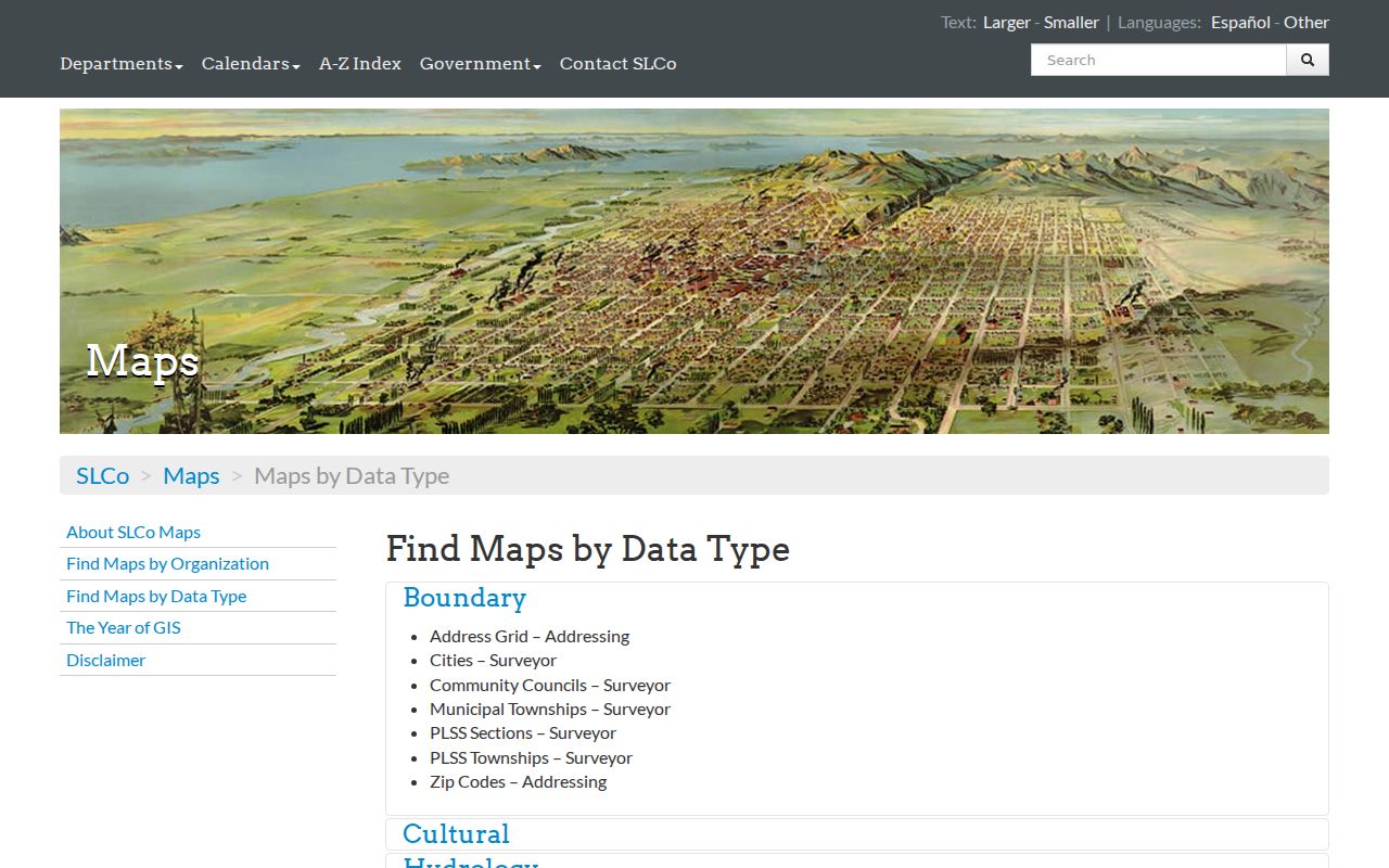
The Salt Lake County map catalog lists ZIP, city, parcel, address, precinct, and district layers.
West Jordan ZIP and City Limits
Postal city, ZIP, municipal city, and county jurisdiction can diverge. A record may carry “West Jordan” in the postal line, “Copperton” in a statistical grouping, and a former municipality in an older planning or deed document. The county GIS city and ZIP layers are the right comparison, while a proposed annexation in the General Plan is not the same as current incorporation.
Write both labels in a research note: postal city and ZIP, then municipal jurisdiction. This small habit keeps the directory from folding a boundary case into the wrong city.
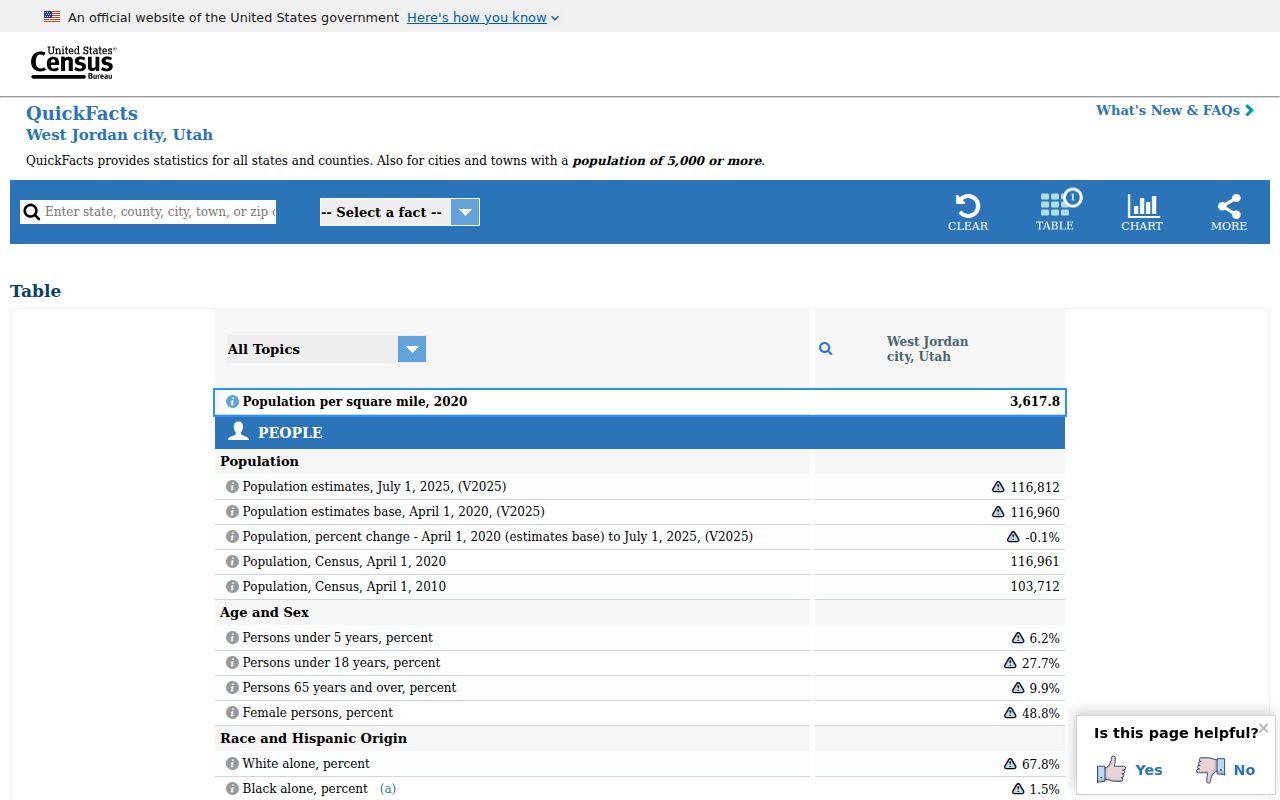
The Census QuickFacts page supplies West Jordan context, not a ZIP-level resident count.
West Jordan Annexation and ZIP Records
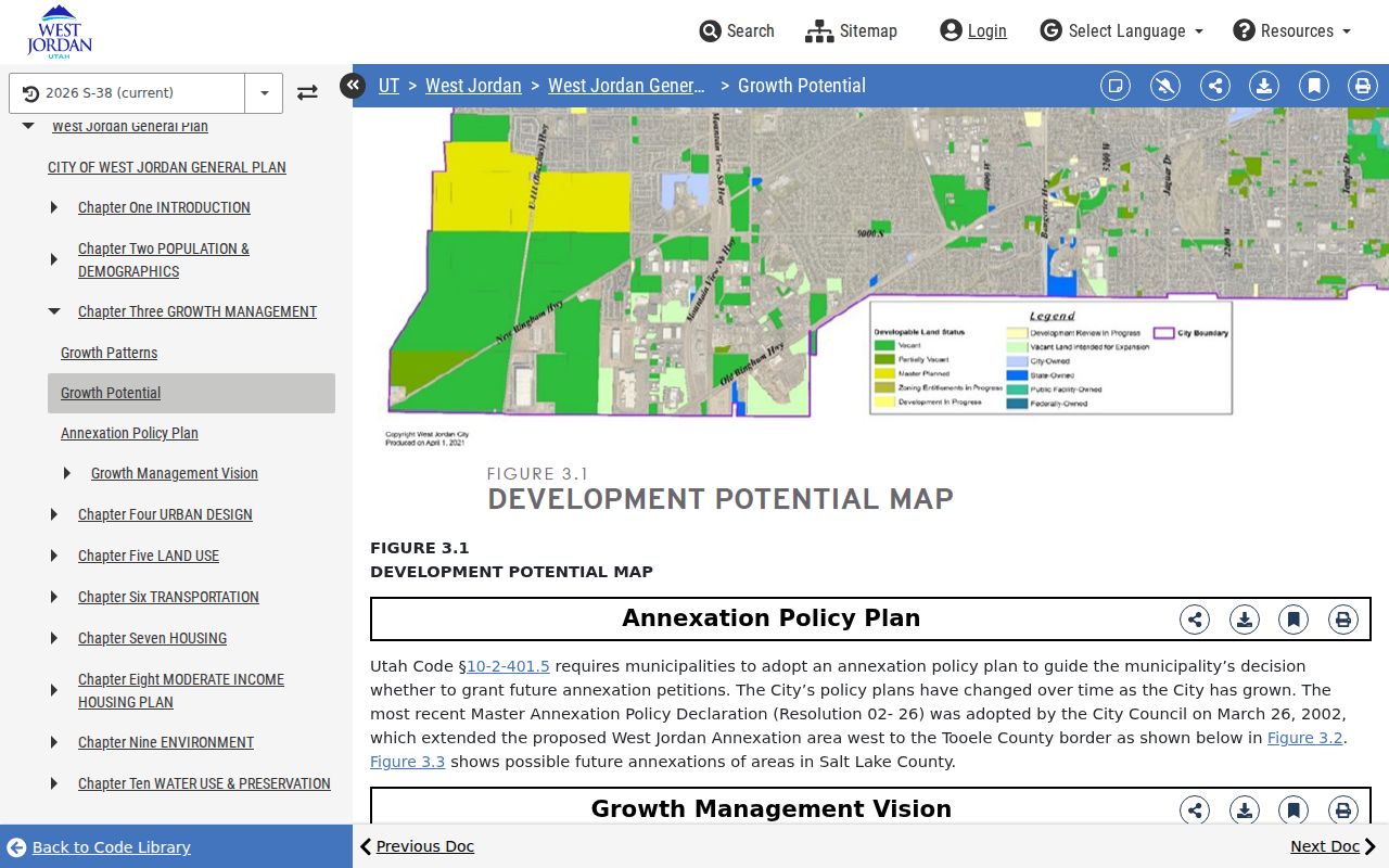
Annexation can change the government record without changing the postal code on the envelope. The research documents a 2006 boundary adjustment that moved a pending subdivision from Taylorsville into West Jordan near 6790 South and 1300 West. Older planning, permit, or land records may retain the former municipality. The city’s 2002 master annexation policy and later General Plan add proposed geography, but a proposed area is not current city incorporation.
For a ZIP search, save the postal city, ZIP, municipal jurisdiction, county, and source date. Then test the full address with USPS, compare the county ZIP and city layers, and use the parcel or legal description as the stable bridge to older records.
The West Jordan annexation policy shows why city and postal geography need separate notes.
West Jordan ZIP Search Limits
A postal code is useful for grouping addresses, but it does not tell who occupies each address. The Assessor’s current static page does not document a ZIP-wide query. The county map can display a ZIP layer, while voter data places ZIP inside a complete residential address in the statewide file. Neither source is documented as a simple public “all people in this ZIP” button.
That gap protects accuracy. A public-category voter can be absent, an at-risk record can be withheld, an owner can receive mail elsewhere, and a parcel can sit near a city boundary. The state registration form shows the fields collected from a registrant, but it is not a ZIP-wide resident list. The directory is strongest when it narrows a location and then hands the question to the right parcel, city, court, or historical record.
ZIP Codes vs West Jordan City Limits
A ZIP code is a postal delivery area. It does not define West Jordan’s legal city line. ZIP+4 adds delivery detail after the five-digit code. A PO-box ZIP serves boxes rather than a normal street address. A unique ZIP can be assigned to one large institution. A carrier route is a delivery path inside the postal system. None of those terms proves who lives at an address.
- ZIP vs ZIP+4
- The five-digit delivery area versus the added four digits used for finer sorting.
- PO-box ZIP
- A code tied to post-office boxes, not necessarily a residential street area.
- Unique ZIP
- A postal code assigned to one organization or facility instead of a broad area.
- Carrier route
- A delivery sequence used by the Postal Service within its larger ZIP geography.
Boundary check. For West Jordan edge addresses, verify the ZIP with USPS, then compare the county map and municipal boundary before using a public record.