
Who Lives on a West Jordan Street
A West Jordan address search works best as an address trail. First identify the county parcel. Then compare the mapped parcel with the recorded land instrument, the public voter route, and a dated reverse directory. The first result usually describes an owner or a registered voter, not every person at the address. Keep each role and date beside the name.
Use a street sweep when the question is about a row of parcels. Use a single-address search when the goal is to understand one property. The county Assessor, GIS viewer, Recorder, Utah voter system, city permit records, and regional Polk volumes each contribute a different piece.
- Run the address through the Salt Lake County Assessor, selecting the county’s autocomplete result. Save the owner name, situs address, parcel ID, and any displayed mailing address.
- Open the Assessor Parcel Viewer. Click nearby polygons and turn on ZIP, city, precinct, school, tax, zoning, or flood layers as needed.
- Use the lawful public-data route at Vote.Utah.gov or ask the county clerk for a county list. Do not assume every household member is registered.
- Search the Recorder Data Services index for the latest deed, then note the from/to parties, date, legal description, and entry placement.
- Check the Utah Historical Society’s Polk “pink pages” for address-to-occupant evidence after 1924, and record the volume year before comparing it with a current result.
West Jordan Streets in the Assessor
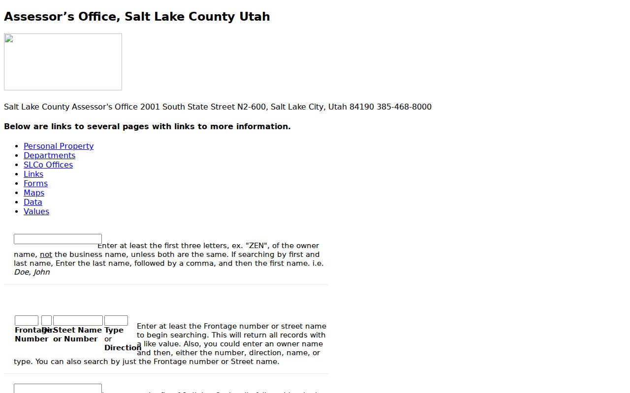
The legacy Assessor search gives West Jordan’s street directory work its most useful syntax. A frontage number is the street number. Direction separates N, S, E, and W. Street Name or Number and Type or Direction can be searched alone or together, and the system returns like values. For a name-first search, enter at least three letters and use last name, comma, first name when both are known.
The parcel prefix is a useful quirk. The first seven digits identify area, section, and block, so a block search can return every parcel in that unit. A full parcel display may include a ten-digit core and four encumbrance digits. The current page uses a county-populated address list, so selecting the match matters.
| Assessor field | Street-directory use |
|---|---|
| Owner | Name-to-parcel search, last name first. |
| Address | Select a current county autocomplete result. |
| Frontage Number | Street number in the legacy form. |
| Dir. and Type | Directional and street-type qualifiers. |
| Parcel number | Ten-digit core, optional encumbrance digits, or seven-digit block prefix. |
Note: Search syntax can find a parcel row, but the result does not establish a complete household.
West Jordan GIS Street Layers
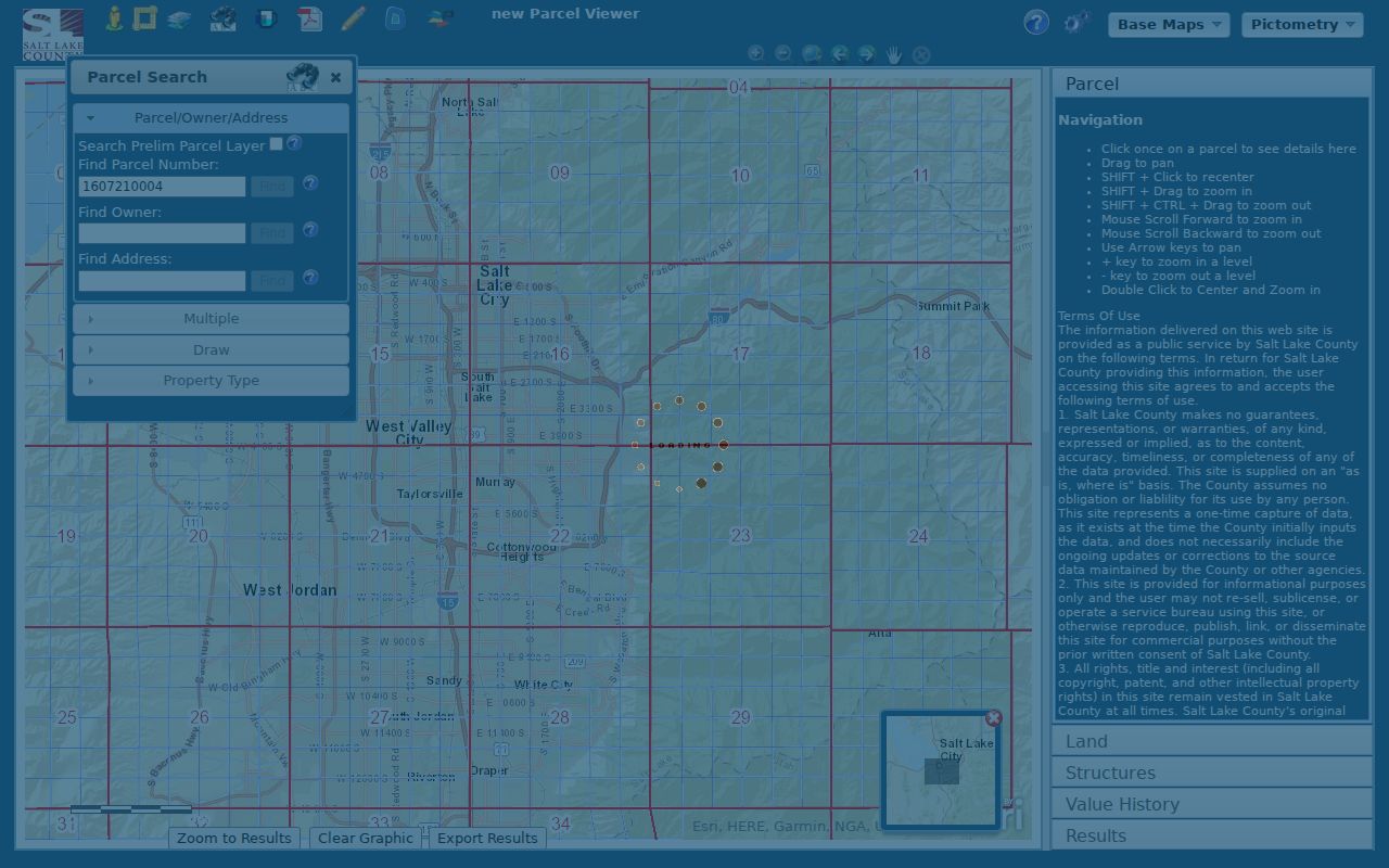
The county GIS viewer lets a researcher move from one address to the parcels beside it. Search by parcel number, owner, or address, click a parcel, and read the popup fields for property Location, owner_name, and parcel_id. The map offers Street, Aerial, and Topo basemaps, with 2012, 2013, and 2014 fall imagery visible in the inspected screen.
Line or polygon selection can cover a street segment, while identify and measure tools help with map review. County layers include parcels, address grids, ZIP codes, city boundaries, precincts, tax districts, schools, zoning, flood areas, and community councils. The county’s map directory is a second way to identify the layer needed for a street sweep. Multiple selection is limited to the first 1,000 results. The map is a locator, not a certified legal record.
The interactive parcel viewer shows the map tools used to inspect a West Jordan block.
West Jordan Records Searchable by Street
Several address-keyed sources can be joined, but they do not all describe residents. This coverage table keeps the result type visible. It also shows why a street directory is a chain of records rather than one master list.
| Record Set | Keeper | What It Shows | Access |
|---|---|---|---|
| Assessor parcel | Salt Lake County Assessor | Owner, parcel, situs and possible mailing link | Free web search |
| GIS parcel map | County Assessor / Recorder GIS | Adjacent parcels, map layers and popup identity | Free viewer |
| Recorded deed/index | Salt Lake County Recorder | From/to parties, dates, legal description, placement | Data Services and counter |
| Voter data | County Clerk / Utah | Public-category voter address and status | Lawful status or data route |
| Building/code records | West Jordan departments | Project, permit, violation and address timeline | Portal or GRAMA request |
The parcel number ties the assessor row to deeds, plats, and map selection. The situs address ties the parcel to city permits and code records. The voter address is a separate public relationship, and the reverse directory is historical. Compare the sets by address, parcel, date, and role instead of merging them because the names look alike.
West Jordan Deeds Along a Street
For each parcel, request or inspect the latest recorded deed. Capture the entry number, recording date, book and page or image placement, instrument type, grantor or “from” party, grantee or “to” party, and legal description. Search the prior seller as a grantee in an earlier period, then match the lot, block, plat, or other description before accepting the next link.
A street address can fail in an old instrument. Subdivision, parcel split, merger, trust, estate, spouse, corporation, and metes-and-bounds terms may be the better search key. The Recorder’s online cutoff is not stated in the public pages. Older books, microfilm, the county counter, Archives, or FamilySearch may be required.
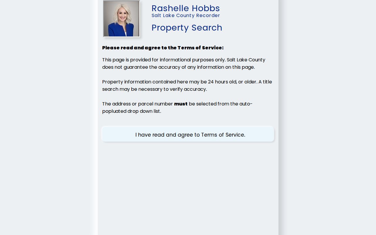
The Recorder public search explains its terms and address or parcel autocomplete requirement.
West Jordan Permits by Address
Building and Safety records add a project timeline to a street directory. West Jordan’s current permit portal guide requires an account, a new application, a category, required fields, attachments, and submission. The city’s frequently requested records page lists Building Safety and Code Enforcement Violations from July 2021 to the present. The public pages do not expose a complete search-field list, so an address-specific GRAMA request may be the next step.
Permit activity identifies an applicant, owner, consultant, project, or inspection event only when that role is shown. It does not prove that the applicant lived at the property. Current residential initial review may take up to ten business days, excluding holidays, according to the portal guide.
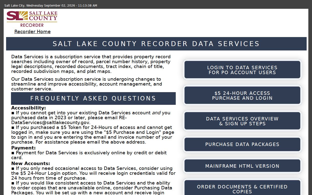
The Salt Lake County Data Services portal is the matching public source for parcel and recorded-document lookups used alongside the city’s permit workflow.
West Jordan’s Former Filing Lines
Postal and municipal labels can change while a parcel’s legal identity remains the same. A 2006 boundary adjustment moved a pending subdivision from Taylorsville into West Jordan near 6790 South and 1300 West. Older planning or land records may use the former jurisdiction. Check city boundaries, parcel layers, and the legal description before deciding that an old street result belongs to another place.
No verified citywide West Jordan street-renumbering or renaming schedule was located. That gap should stay visible. Test old direction, street type, locality, and subdivision terms in the county systems and regional directories instead of inventing a conversion rule.
West Jordan Street Source Checks
A street directory result deserves a source check before it is shared. The legacy Assessor page can return like values from frontage, direction, street name, and type. The county GIS page supplies parcel and map context. Property Watch can alert an owner to new parcel-attached documents, but the Recorder says alerts are not exhaustive and do not determine clear title.
The legacy Assessor search exposes the detailed street fields used for a West Jordan address sweep.
County GIS data comes from the Assessor and Recorder parcel system. If the map, parcel card, and deed disagree, keep the disagreement in the note and ask the custodian. A county map can be stale or incomplete, and the first 1,000 selected parcels are the documented limit.
The Assessor GIS information explains the county parcel-mapping route.

Property Watch is best used as a forward-looking safety check for a parcel, not as a backward history. Save the alert date and document type, then confirm the instrument in Recorder Data Services or through the county counter.
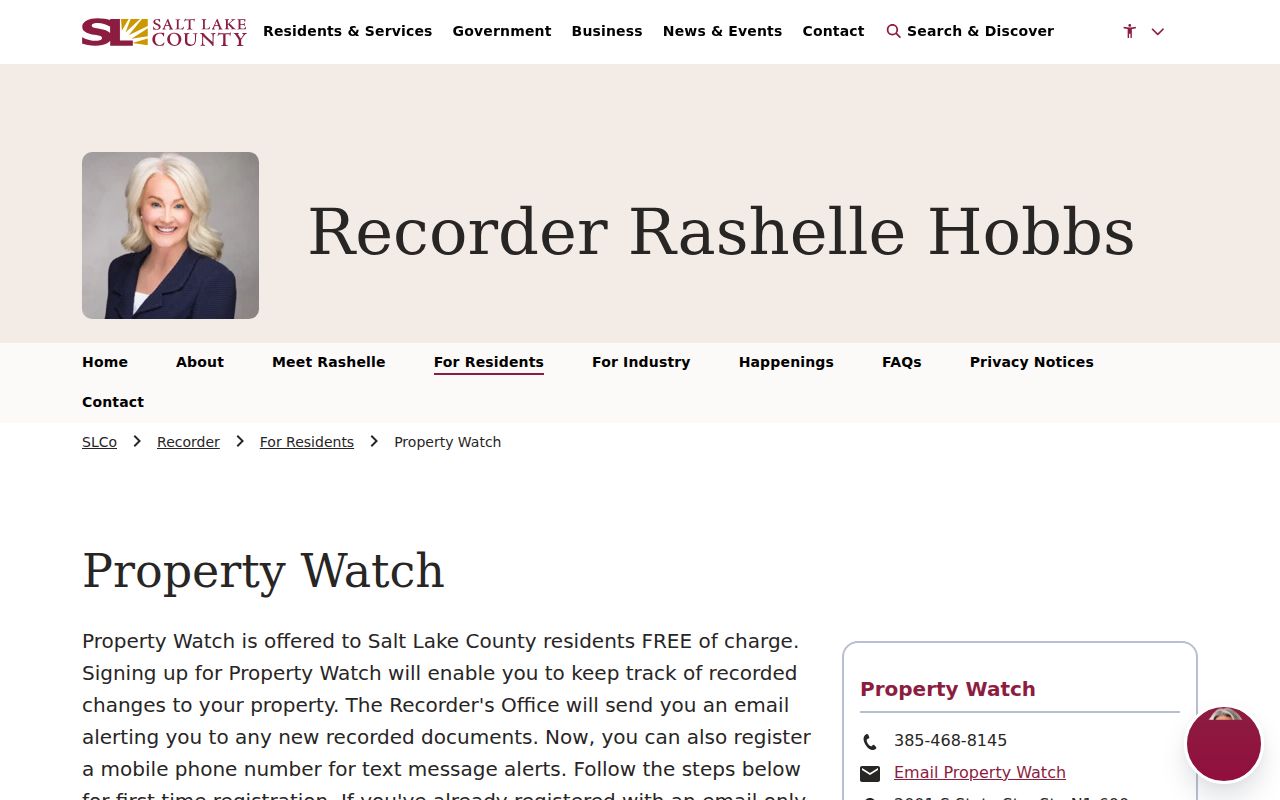
The Salt Lake County Property Watch page describes parcel-attached alerts.
What a Street Directory Cannot Show
A West Jordan street directory cannot reveal every occupant. The assessor and deed index center on property ownership. A mailing address may be somewhere else. Voter data leaves out unregistered people and withholds at-risk records. Public sources do not provide utility customer names or a general DMV address lookup, and the regional Polk volumes show dated occupants rather than a live list.
- Parcel
- A tax-map unit that identifies land; it is not itself a deed or household.
- Situs address
- The physical location of the parcel, distinct from a mailing address.
- Plat
- A recorded map that defines lots, blocks, and subdivision relationships.
- Criss-cross directory
- A reverse directory arranged by street or address instead of only by person name.
Lawful use. Address records are appropriate for family history, civic research, and careful personal verification. Utah’s stalking law does not make a public record permission to monitor, confront, threaten, or repeatedly contact a person.