
Looking Up Your West Jordan Neighbors
A block review starts with the parcel around a known address. The County Assessor can identify the owner-of-record relationship. The GIS viewer can show adjacent polygons and public geography. Voter data may show public-category registrations, and a historical directory may show a past occupant. These sources describe parcels, roles, or dated entries. They do not create a live list of every person on a block.
Use one address as the anchor, then compare each nearby result by parcel, situs, date, and record role. A mailing address can belong to an owner elsewhere. A permit can name an applicant. A voter can be protected or absent. The neighbor lookup stays accurate when those limits are stated beside the result.
| Source | What It Shows About a Block | Access |
|---|---|---|
| County GIS viewer | Adjacent parcels, owner popup, ZIP and district layers | Free map |
| Salt Lake County Assessor | Owner, parcel, situs and possible mailing relationship | Free search |
| Utah voter data | Public-category voter address, status and districts | Status or lawful data route |
| West Jordan Neighborhood Watch | Organizing and safety contact for a five-to-ten-home range | City outreach |
| Polk reverse directory | Dated address-to-occupant snapshot | Historical Society / FamilySearch |
The owner is not automatically the occupant. A public voter is not every adult at the address. A reverse directory is not current. This is why a block result should say “owner,” “registered voter,” “applicant,” or “historical occupant,” rather than flattening all names into neighbors.
The Salt Lake County Parcel Viewer is the official map route for nearby parcel review.
West Jordan GIS Neighbor Controls
The viewer can find a parcel number, owner, or address through separate controls. After the map centers on the parcel, click nearby polygons for the property Location, owner_name, and parcel_id fields exposed in the map schema. Draw a line or polygon to select a group. Street, aerial, topo, and older 2012, 2013, and 2014 fall imagery help compare the map with the built block.
Turn on parcels, address, ZIP, city boundary, precinct, tax district, school, zoning, flood, and community-council layers as needed. Identify, measure, and export tools support map notes. Multiple selection stops at the first 1,000 results. The county’s accuracy and timeliness warning belongs in any careful neighbor lookup.
| GIS control | Block-level use |
|---|---|
| Find Address | Centers the map on the physical parcel location. |
| Click parcel | Opens the parcel popup and its available identity fields. |
| Draw line / polygon | Selects parcels along a street segment or around an area. |
| County layers | Compares ZIP, city, precinct, school, tax, zoning, flood, and council geography. |
The Salt Lake County Assessor GIS page links the parcel and mapping tools.
West Jordan Neighbor Block Map
Use the seven-digit parcel prefix before drawing a whole block when a parcel number is available. In the legacy Assessor system, the first seven digits identify area, section, and block. That shortcut can return the block’s parcels. The map then helps check which polygons touch the anchor parcel.
- Locate the address in the Salt Lake County GIS viewer and save the anchor parcel ID.
- Click the surrounding parcels and record each owner name, situs, parcel ID, and available mailing relationship.
- Compare ZIP, city boundary, precinct, school, tax, and zoning layers, noting where they diverge.
- Use voter or city records only for their named public role, then stop at protected or missing information.
- For a complete named-street chain, switch to the West Jordan street directory workflow.
The flow is simple: address → parcel → adjacent polygons → owner role → public geography → dated or civic source. It does not become a list of every household member. A parcel map identifies land; it does not identify all people who use it.
West Jordan Neighborhood Watch Contact
West Jordan’s official Neighborhood Watch guidance describes organizing around a five-to-ten-home address range. Community Outreach Coordinator Glori Buchei is listed at 801-569-5112 and glori.buchei@westjordan.utah.gov. This is a civic safety and outreach channel, not a public roster of names or addresses. It can help residents build a local contact plan without turning public records into a private directory.
| Community channel | Verified role |
|---|---|
| Neighborhood Watch | Formation guidance and safety outreach for a defined five-to-ten-home range. |
| City council and precinct layers | Public civic geography for a parcel or block. |
| Community councils | County map layer that shows civic geography, not a household roster. |
The West Jordan Neighborhood Watch guide provides the outreach details.
West Jordan Block Records
Building and development records can explain what is changing around a block. A city application may use parcel or Sidwell number, acreage, lots, location, zone, project name, application type, applicant, consultant, and property-owner details. Those fields describe a project relationship. An applicant is not automatically an owner, and an owner is not automatically a current neighbor.
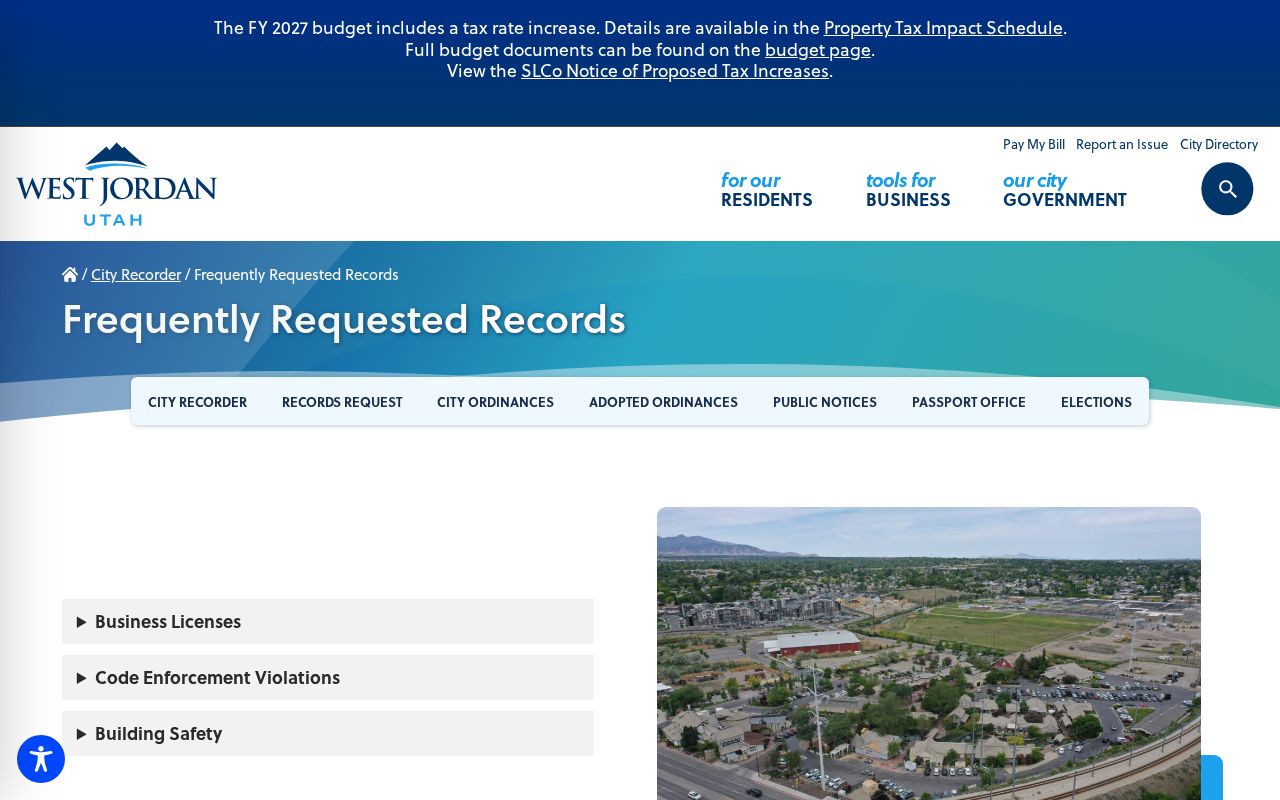
The city’s frequently requested records page lists Building Safety and Code Enforcement Violations from July 2021 forward. Its public field list was not located. If the portal does not expose a needed address record, send a narrow GRAMA request to West Jordan’s actual custodian.
The West Jordan frequently requested records page identifies the city’s online public-record categories.
West Jordan Neighbor Block History
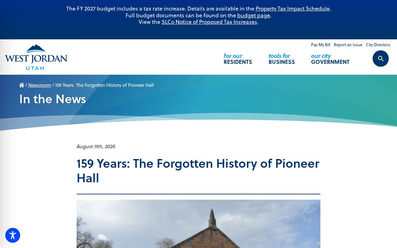
A block can have a civic history that predates its current parcel map. West Jordan’s 1867 Pioneer Hall at 1137 West 7800 South served as a church, school, theater, social hall, and later community space. A recognizable place name can help a researcher connect a neighborhood question to city histories, newspapers, organizations, and public meeting records without treating those sources as a private roster.
The city’s record geography also reflects growth. Settlement began near the Jordan River in 1849, the Gardner millrace followed in 1850, and incorporation came in 1941. A current block may therefore appear in county, ward, town, city, planning, and annexation records under different labels. Preserve the label and date on each source.
The West Jordan Pioneer Hall history supplies a local landmark and civic-use story.
West Jordan Neighbor Voter Records
A block-level voter search has a narrow meaning. Public-category voter data can include name, physical and mailing address, age range or year of birth, party, active or inactive status, precinct, districts, and vote history. Full birth date, ID numbers, Social Security number, email, phone, and signature are protected. At-risk voters may be anonymized or withheld, including people covered by domestic-violence protections, protection orders, law-enforcement safeguards, or related categories.
Statewide data is a paid request listed at $1,050, while county or district lists come from the appropriate clerk. The individual “Check My Status” route is for a voter checking their own record. A voter result does not show every adult on a block, and it does not prove that a mailing address is current or that the person owns the parcel.
Note: Treat a public voter result as one dated role in a block review, not as a complete list of people near the address.
West Jordan Neighbor Privacy Limits
A neighbor lookup cannot show non-owner household members, utility customers, private delivery data, or a general DMV address. Public voter data leaves out unregistered people and withholds at-risk voters. Safe at Home uses a substitute address for eligible survivors, while the actual home, city or county, precinct, phone, and other identifying details can remain confidential. The Utah offender-registry route and Utah corrections search are separate, role-specific public tools, not neighbor directories.
Commercial neighbor tools are a category of paid databases that combine public and purchased data. They can be stale, mismatched, incomplete, or costly, and they cannot override a government privacy classification. For custody or safety questions, the Salt Lake County Sheriff corrections page, its resource page, and Utah’s VINE notification service have their own purposes and limits. Official custodians remain the source for parcel, court, voter, city, and vital-record corrections.
Lawful use. West Jordan neighbor lookups are for civic understanding, personal safety awareness, and lawful research. Utah’s stalking law covers conduct that causes fear or significant emotional distress, so a public parcel or name is never permission to watch, confront, threaten, or harass anyone.